Flooding
Volunteer Jon Smith reveals some of the history of Bridport’s relation with the sea when it’s at its most dangerous.
Volunteer Jon Smith reveals some of the history of Bridport’s relation with the sea when it’s at its most dangerous.
If you stand on the Jurassic Pier at West Bay and face the shore, there is one glaringly obvious geographical feature. Directly in front of you the land is almost pancake flat and remains so until you reach the outskirts of Bridport about a mile away. To your left and right, massive cliffs, rising up from the shore with high ground behind them, flank the Esplanade and harbour area. The River Brit, which is fed by the Rivers Simene and Asker, empties into the inner harbour. Add to this cocktail the prevailing South West winds which sweep in from the Atlantic and up the English Channel, and there’s little wonder that West Bay and Bridport have a long history of floods.
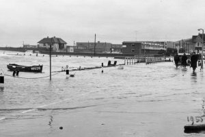
In 1884, Great Western Railway built a railway line to Bridport Harbour, and renamed it West Bay, with the aim of converting the harbour area into a holiday resort. West Bay has a long history of being at the mercy of the sea; 1824 gives us the first specific mention of devastating flood damage, caused by The Great Storm of that year, with sixteen subsequent inundations being recorded.
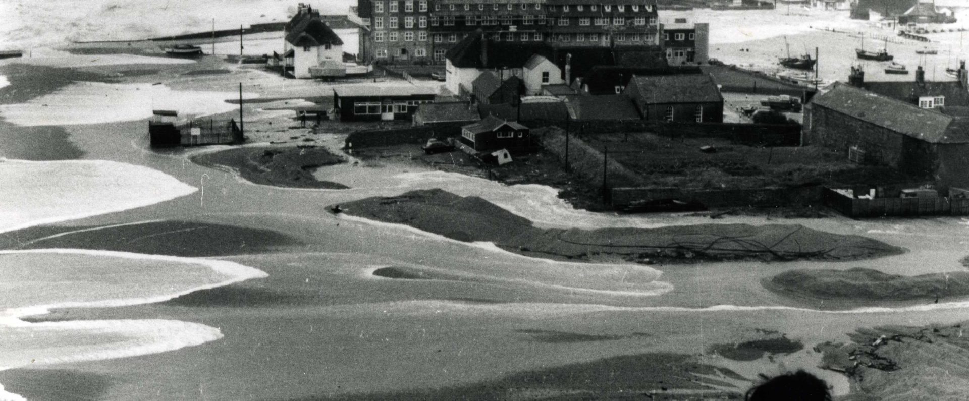
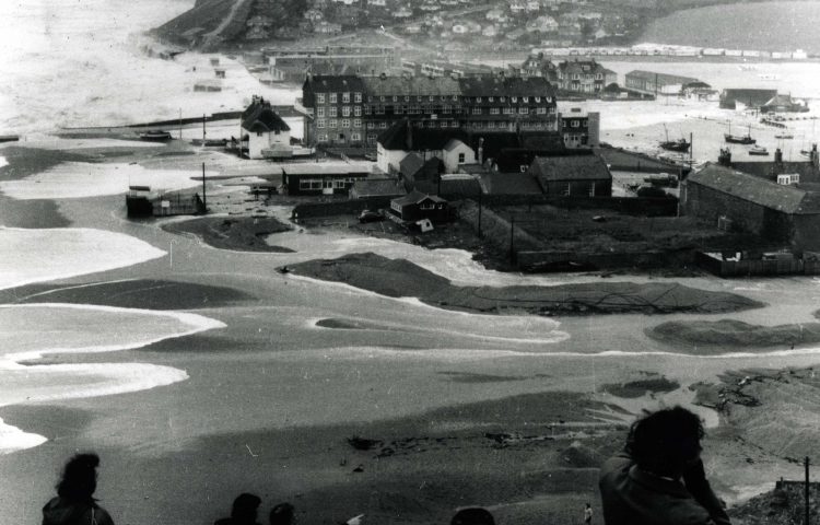
In more recent history, while both the East and West piers were strengthened several times in the 20th century, they were powerless in 1974 when East Beach was breached by the sea, causing extensive flooding. Many residents were trapped in their homes, with rowing boats the only form of escape until the flood waters receded. The piers were further strengthened in 1981, when a 22 ton crane was washed out to sea, and again the following year after yet another major flood. In 1989 a storm caused £614,000 (equivalent to £1.35 Million in 2020) of damage to properties, the Esplanade and the piers.
The complete list of alterations and improvements to the sea defences would be a long one! The most notable project in recent years was the “banjo” shaped Jurassic Pier which replaced the old West Pier. This opened in 2004 with an £18 million Harbour Defence Scheme, incorporating a new Outer Harbour and slipway which was made available for public use the following year.
In 2014, hurricane force winds coincided with a spring tide, which resulted in roofs being ripped off, although thankfully no fatalities were recorded.
The latest attempt to protect West Bay from the elements is the £9 million sea defences work started in 2019 and still ongoing.
Heading inland, the lower lying area around Bridport is prone to flooding after persistent heavy rainfall, with the floods of 2012 being a recent example. In July of that year an estimated month’s worth of rain fell in just 24 hours. Among other places, the A35 at the Eastern entrance to the town was impassable, and buildings at the lower end of South Street were flooded, while Asker Meadows, already sodden from storms earlier in the week, was also underwater.
With climate change becoming a major concern worldwide, you have to wonder what the geography of the town will be like in a further 50 years. Perhaps the planned erection of properties on an area known as Flood Lane is a portent?
Jon Smith- Volunteer
Find out more:
Rivers of Dorset by Cecil Amor
Film of the 2012 floods by Vince O’Farrell
Please note: Jon has been looking through information previously arranged by an unknown researcher. If you are the original compiler of this information we’d be delighted to give you full credit for your work
All of the information included in this article is correct to the best of our knowledge. However, if you believe anything is incorrect, or would like to submit further information, then don’t hesitate to get in touch.